|
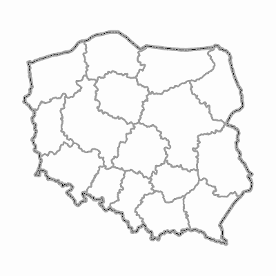
Width: 400 Height: 400 Extent:
YMin: 36890.83844093513 XMax: 933969.5538540999 YMax: 871256.6556818918 Spatial Reference: 2180 Scale: 7883755.73394635 |
| ArcGIS Services Directory |
| Home > ref_rest2 (MapServer) | Help | API Reference |

|
Width: 400 Height: 400 Extent:
YMin: 36890.83844093513 XMax: 933969.5538540999 YMax: 871256.6556818918 Spatial Reference: 2180 Scale: 7883755.73394635 |